Demo · public / synthetic dataUnapproved analysis
Bothy

Loading 3D atmosphere…

Shelter for uncertain decisions.

Trace a dependency. Inspect the evidence. Own the next check.

Open workspace

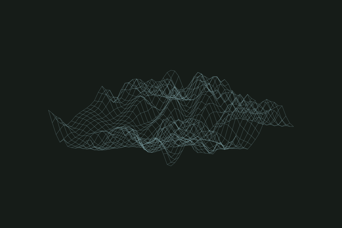
Scottish elevation study · 2× vertical exaggeration · brand atmosphere, not supplier geography. Illustrative shelter symbol, not a mapped building.

Inspection / reference

Frozen terrain source — local metadata

Mapzen Terrain Tiles. Produced using Copernicus data and information funded by the European Union — EU-DEM layers. SRTM and GMTED2010 data courtesy of the U.S. Geological Survey. ETOPO1: DOC/NOAA/NESDIS/NCEI.

Source tile
/experience/terrain/terrain-source.json
Dataset
AWS Terrain Tiles (Terrarium encoding)
Attribution
Joerd tile sources